South Umpqua River Collecting Sites
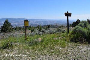
Several BLM-managed access points along Oregon Route 227 provide dependable entry to South Umpqua gravel bars between Days Creek and Tiller.
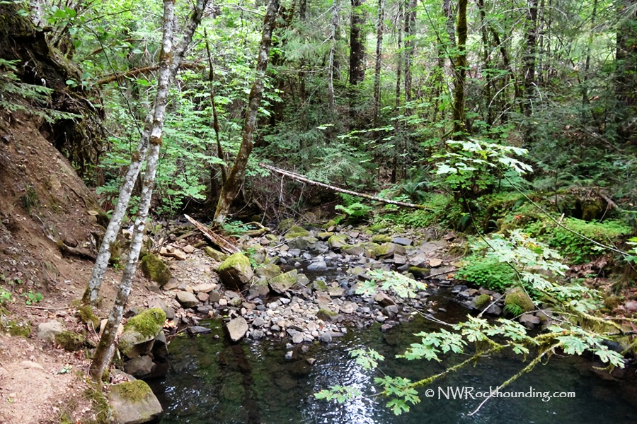
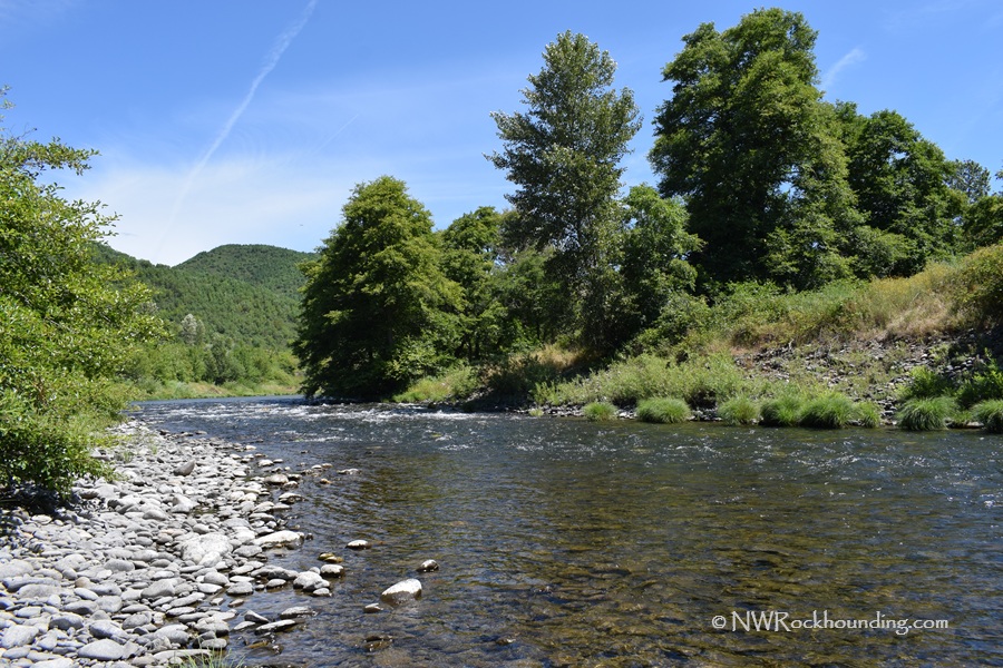
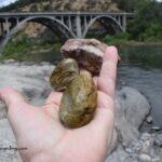
Bridge at Days Creek at milepost 10, is located approximately 7 miles east of Canyonville. The bridge crosses the river with visible gravel accumulations below.

A narrow parking area on the northeast side leads to a trail down to the riverbank.
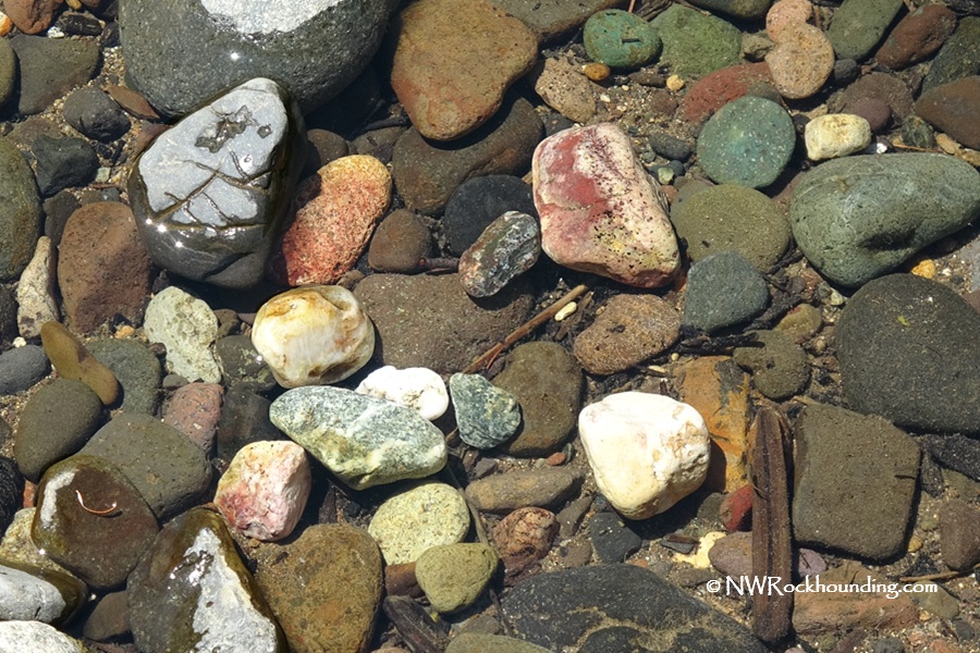
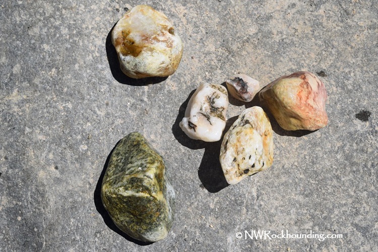
Good concentrations of agate and schist appear among the cobbles here. A swimming hole makes this spot popular during the summer months.
South Umpqua Bridge at Days Creek - Rockhounding and River Adventures
Additional Lower River Collecting Sites
Located just off the I-5 corridor in Southern Oregon, the town of Myrtle Creek offers easy access points to the South Umpqua River.
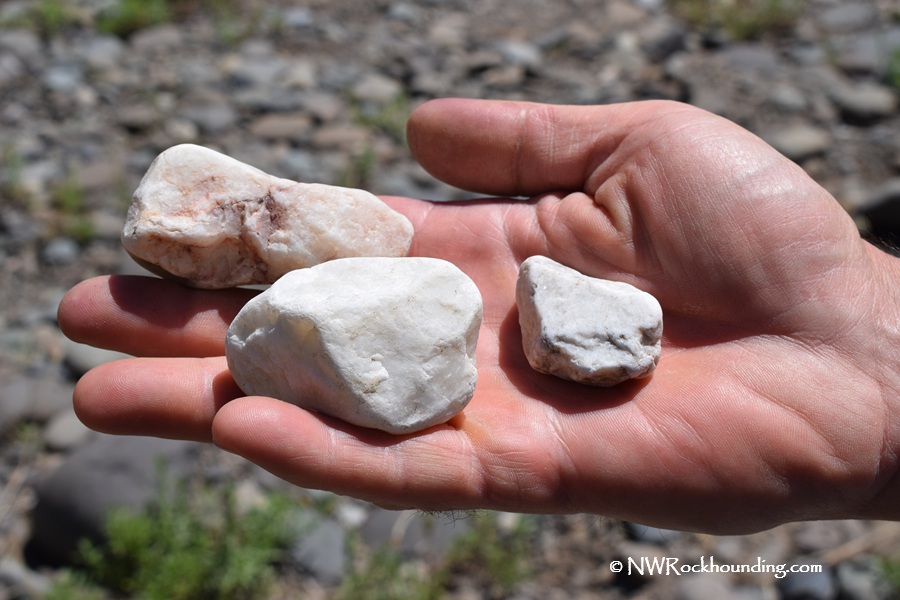
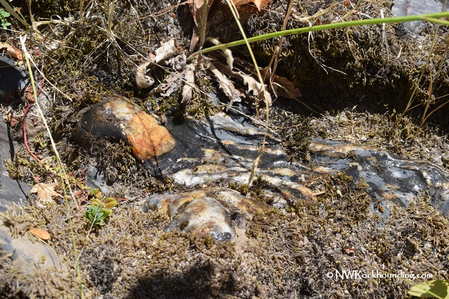
The river here features extensive gravel bars, loaded with collectible material, including agates, jasper, quartz, and petrified wood.
Myrtle Creek Rockhounding - Collect Unique South Umpqua River Rocks