
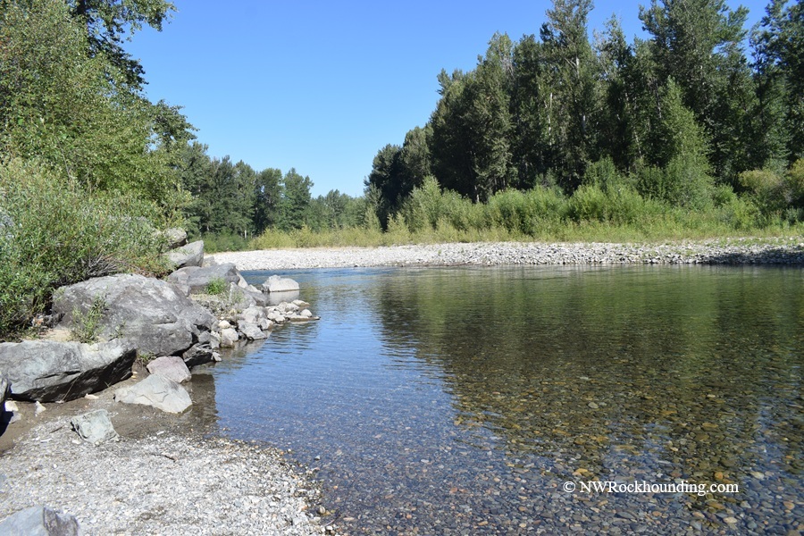
The Methow River flows through north-central Washington in Okanogan County. It runs for about 80 miles, beginning high in the North Cascades and ending at Pateros, where it joins the mighty Columbia River.
The upper section sits at about 1,963 feet above sea level, while the lower section near Pateros drops to around 1,561 feet.
Several agencies, including the Washington State Department of Natural Resources, the Okanogan-Wenatchee National Forest, the Bureau of Land Management, county governments, and the Washington Department of Fish and Wildlife, manage public lands along the Methow River.
Always verify land ownership and collecting regulations before collecting rocks.
Not sure about the rules? Take a look at Washington State rockhounding rules first.
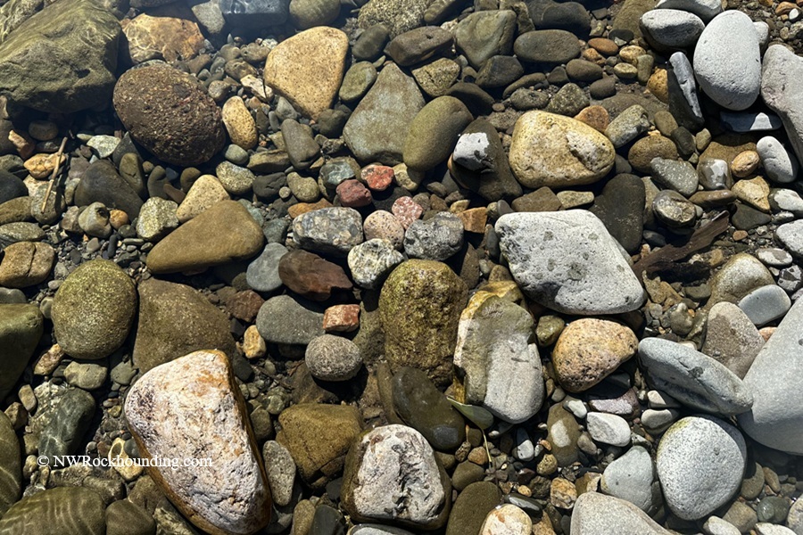
Along its journey, the Methow River tumbles and polishes every stone it carries. By the time these rocks reach the gravel bars, they're smooth, rounded, and easy to sort through.
Methow River Rockhounding
This river is known for jasper, agate, quartzite, granite, conglomerate, epidote, and porphyry basalt.
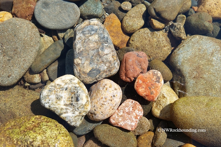
Jasper occurs in shades of red, brown, and occasionally soft green.
Conglomerate is everywhere, and it's stunning. At my upper collecting site, we found colorful pieces with a wide variety of patterns. These "rocks made of rocks" tell the story of ancient rivers that flowed through the area millions of years ago.
Agate and quartz are mixed among the gravel, usually as small, river-worn pieces.
Look for clear and milky quartz scattered across the gravel bars.
Want a tip from me? Ever notice the best gravel bar always seems to be on the other side of the river? Bring a buddy so one of you can watch for promising gravel bars while the other drives.
The best time to visit is from late spring through fall, when water levels are lower and more gravel bars are exposed.
Methow River: Things to Do Nearby
The Methow corridor has plenty going on beyond rockhounding.
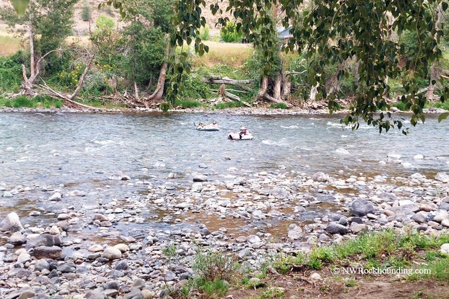
When the weather heats up, grab a tube and float the river. River tubing is a local favorite during the summer, and outfitters in Winthrop rent tubes and provide shuttle service.
You can also enjoy fly fishing, hiking, or biking the famous Methow Valley trail system.
Winthrop is one of Washington's most charming small towns. Its Old West theme, excellent restaurants, local shops, and convenient services make it a great place to stop before or after your rockhounding trip.
About 9 miles south, Twisp is a smaller artsy town near my lower collecting site.
If you enjoy exploring the Methow River, follow WA-153 south, where the highway crosses the river several times and offers additional opportunities to check the gravel bars.
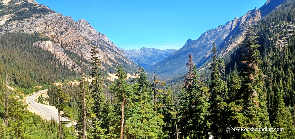
Washington Pass along WA-20 rewards visitors with spectacular mountain scenery and is well worth the drive.
Methow River Rockhounding | Facts
Material: Jasper, agate, quartzite, granite, conglomerate, porphyry basalt
Tools: Gem scoop, geology pick
Land type: High desert river
Best time to visit: Late spring through fall
Land manager: Washington State Department of Natural Resources
Fees: None
Location: Okanogan County • Washington • USA
Road access: Any vehicle
Camping and Lodging near Methow River
You'll find plenty of camping and lodging throughout the Methow Valley.
Several campgrounds are located along WA-20 near Mazama and Washington Pass, with most operating from late spring through fall.
If you prefer a roof over your head, Winthrop and Twisp both offer a variety of lodges, cabins, inns, and vacation rentals, all within a short drive of the river.
You May Also Like




Directions to the Methow River
From WA-20 (North Cascades Highway),
- Head east over Washington Pass toward Winthrop on WA-20
- Drive about 5.0 miles west of the Mazama turn (or 8.2 miles west from the main intersection in Winthrop) and watch for the bridge near Goats Creek Rd
- Pull over at the small parking area on the NW side of the bridge, then walk down to the river gravel.
There are multiple other places to collect rocks, but check who manages the land to find out if collecting is allowed.
GPS (Methow River near Weeman Bridge): N 48°32.680' W 120°19.486' | 48.5447, -120.3248