
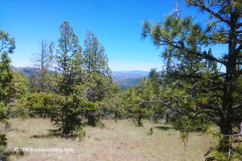
Tucked into the pine-covered hills of the Ochoco Mountains, about 40 miles east of Prineville, Rooster Rock is a free rockhounding area in Central Oregon. First, let's clear something up.
This is not the Rooster Rock in the Columbia River Gorge. Same name, different place. This one sits deep in the Ochoco National Forest in Crook County, where the rough access road helps keep crowds away.
The rock here is the Rhyolite of Hash Rock, roughly 39 million years old. This Eocene rhyolite formed from lava that flowed north from the ancient Wildcat Mountain caldera and later became exposed at Rooster Rock.
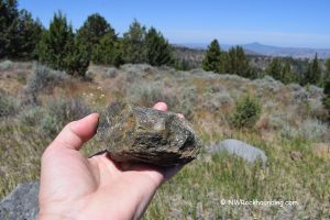
Look closely at the exposed rhyolite outcrops and larger pieces of rock, especially where the rock surface is freshly exposed. You may see the distinctive flow banding as thin, often wavy layers running through the rhyolite.
The volcanic processes that formed this rhyolite also created cavities that can contain agate.
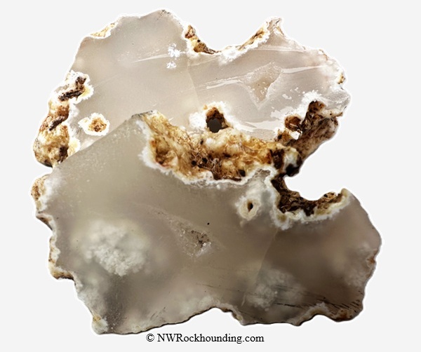
Rooster Rock Rockhounding
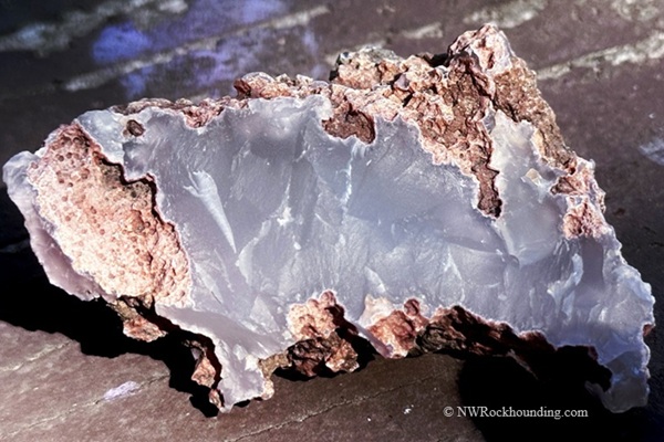
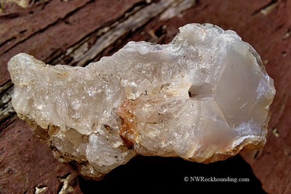
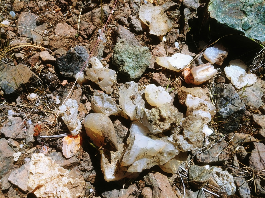
You can find clear, gray-banded, blue, and moss agates, as well as nodules with quartz crystals and occasional pieces of red jasper. Thundereggs can also be found in the area.
Agate occurs both as loose pieces and in seams within the rhyolite. Some seams contain blue-banded agate, while cavities in the host rock may hold quartz crystals.
Tumbler-size pieces can be found loose on the ground. Looking for larger display pieces? Scan the hillsides for outcrops with agate seams running through the host rock. Some of these seams contain blue-banded agate and may require careful work with a hammer and gad.
You may see agate in the gravel road, but don't dig into the roadbed. Avoid damaging the road, which is used by others accessing the area.
Active mining claims may also exist in the area, so watch for claim markers and avoid collecting on claimed ground.
One last tip: these slopes are steep, so wear sturdy boots with good ankle support.
Things to Do: Exploring the Area
Ochoco National Forest spans more than 50 miles from west to east, mixing huge ponderosa pine stands, rugged canyons, clear creeks, and open high desert.
Folks come out here to hike, camp, fish, ride horses, watch wildlife, and, of course, hunt rocks.
Come winter, the area becomes popular for snowshoeing and cross-country skiing.
Want more digging? Whistler Springs and White Fir Springs are public rockhounding sites located in the Ochoco National Forest.
The Wildcat Trail runs 9 miles through Mill Creek Wilderness, and Stein's Pillar, a 350-foot rock spire, makes a great half-day hike.
Walton Lake is my pick for easy fishing and a short hike.
Prineville, the oldest city in Central Oregon, calls itself the unofficial World Rockhound Capital. Each June, it hosts the Rockhound Pow Wow at the Crook County Fairgrounds, where 60-plus dealers sell agate, jasper, petrified wood, obsidian, thundereggs, lapidary gear, and jewelry, with field trips available.
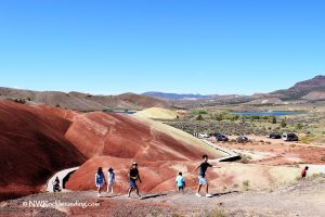
Prineville is also a convenient base for exploring John Day Fossil Beds and the colorful Painted Hills.
Rooster Rock | Facts
Material: Moss agate, blue banded agate, jasper, thundereggs
Tools: Geology pick, rock hammer, gad, chisel, shovel
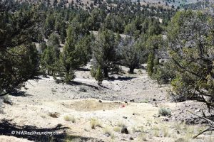
Land type: Forested mountain hills and road cuts
Best time to visit: June to October (snow can block roads until May)
Land manager: U.S. Forest Service - Ochoco National Forest
Fees: None
Location: Crook County • Oregon • USA
Road access: High-clearance 4WD suggested
Places to Stay Near Rooster Rock
Whistler Campground is free, first-come, first-served, and about 5 miles up the road. Look up before you pitch a tent, because standing dead trees lean over those sites.
Dispersed camping is allowed throughout the forest, and I've slept in some great spots right off NF 2730.
Prefer a hot shower? Prineville has affordable lodging and vacation rentals.
Affordable vacation rentals for short and long term stay at Prineville
You May Also Like






Rooster Rock Directions
From Prineville or Mitchell,
- Drive Highway 26 to milepost 49.5, then turn northwest onto Forest Road 27
- Drive 1.3 miles to FR 2730 - the Lucky Strike Mine sign
- Bear right onto gravel Forest Road 2730 and continue for about 6 miles to a fork; bear left on NF 2730 toward Lucky Strike
- After 3.2 miles, at a second fork, bear right on NF 2730 (Lucky Strike Mine is left)
- Drive for about one mile to a tiny parking area.
That pullout is the GPS mark and the safest place to park on this narrow road.
Phone (Ochoco National Forest): 541-416-6500