

The Sixes River originates in the Rogue River Siskiyou National Forest and flows for more than 30 miles through dense coastal forests before reaching the Pacific Ocean. The river mouth is located about 5 miles north of Port Orford near Cape Blanco.
The name "Sixes River" has several possible origins. Some believe it was named after a local First People's leader, while others say it comes from a Chinook word meaning "friend." Another theory is that it comes from the Kwatami tribe and means "people of the far north country."
Much of the Sixes River watershed is privately owned, including large sections of the lower river. Cape Blanco State Park provides one of the main public access points near the river mouth.
The upper river area is also partially under mining claims, and some roads leading to the river pass through private logging lands and may be gated.
However, a few sections managed by the U.S. Forest Service and the Bureau of Land Management (BLM) remain open to the public. They are suitable for rockhounding, fishing, swimming, and outdoor recreation.
Sixes River Rockhounding & Gold Panning
Rockhounding
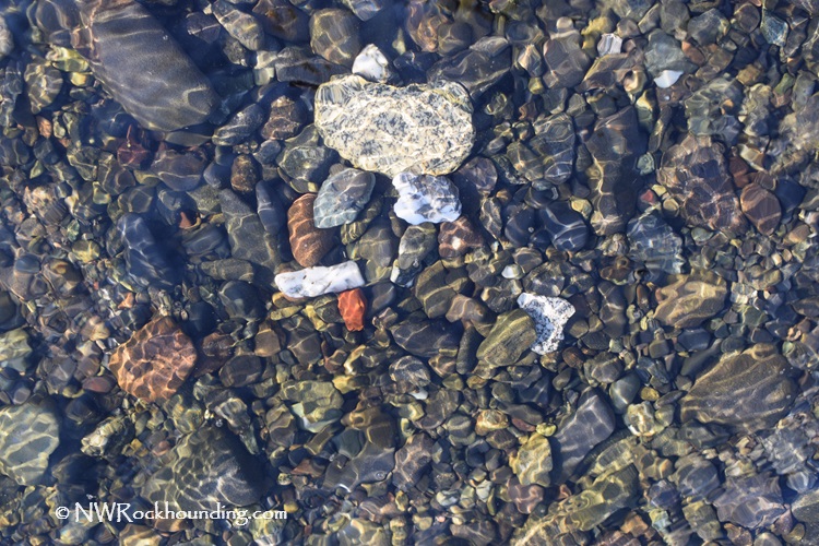
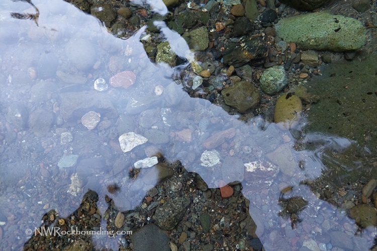
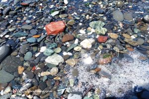
The river is known for gravel bars rich in collectible rocks of various sizes and colors. Common finds include white quartz, agate, petrified wood, and green, yellow, and red brecciated jasper.
Because access to parts of the river is limited, the best public places for rockhounding are Cape Blanco State Park and the Sixes River Recreation Site, which is managed by the Bureau of Land Management.
Gold Panning
In the mid-1800s, rich gold placer deposits were discovered on the Sixes River, attracting early settlers. While the gold rush eventually declined, traces of gold can still be found.
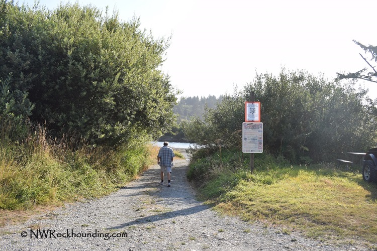
The BLM set asides the Sixes River Recreation Site for recreational prospecting. Information boards at the site provide details about the region's mining history and local regulations.
Gold panning is restricted from fall to mid-summer to protect spawning salmon. Mining season dates and rules are subject to change, so it is advisable to check the latest regulations before planning your trip.
Beyond the Rocks: Exploring the Area
The Sixes River is known for its excellent fishing, particularly for fall wild Chinook and coho salmon, winter steelhead, and resident cutthroat trout. However, fishing is restricted to the lower 16 miles, with limited bank access. Always check the latest deadlines and current fishing regulations before you go.
The clear and calm waters of the Sixes River make it ideal for swimming, canoeing, and kayaking. The water remains cool during summer, around 65°F in August.
While you are in the area, make sure to visit the historic Cape Blanco Lighthouse, the oldest, windiest, and westernmost light station in Oregon.
Sixes River | Facts
Material: White quartz, agate, petrified wood, and green, yellow, and red brecciated jasper; Gold
Tools: Sand Dipper Square Scoop
Land type: Rocky river
Best time to visit: Year-round
Land manager: Oregon State Parks and BLM
Fees: None
Location: 9 miles northwest of Port Orford • Oregon • USA
Road access: Any vehicle
Elevation: 0-150 ft (0-46 m)
Places to Stay Near Sixes River
Sixes River Recreation Site has a small campground with 19 campsites, drinking water, and vault toilets. Each campsite has picnic tables and fire rings.
Alternatively, you can book a hotel in Gold Beach or stay at Port Orford.
Affordable vacation rentals for short and long term stay at Port Orford
You May Also Like


Sixes River Directions
From Port Orford,
- Travel 4 miles north on Highway 101 to Cape Blanco Road between milepost 296 and 297
- Turn left (west) onto Cape Blanco Road and continue 5 miles to the destination.
The last 0.25 miles portion of the road to the light station is open for pedestrian traffic only.
Cape Blanco Lighthouse & State Park
- Head north on US-101 North and follow it for 5.3 miles
- Turn right onto Sixes River Road and follow it for 11.3 miles.